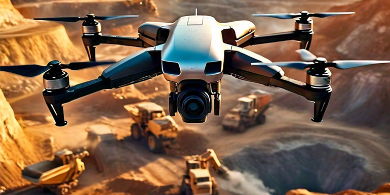
Even before a mining site is established, a drone can be used to assess the mineral potential of a site. This is a complex discipline that requires advanced knowledge of geology and mineralogy. However, the data that a drone can collect easily and quickly will prove to be very valuable to the process.
Drone-mounted cameras or LiDAR sensors can be used to create highly detailed orthomosaic maps and digital elevation models. Maps at this level of detail are very useful for exploring areas where access by foot is difficult.
As a company moves in on a new mining site, a detailed topographic map can help them plan for the infrastructure needs for the project along with the associated costs. With a detailed map, project engineers can accurately determine how long the roads will be, as well as their specific slopes and turning angles.
Many mining companies also use drones as monitoring tools throughout their operations.
Maintaining an inventory of stockpiles can be a nightmare for the project manager. Not only is it dangerous to have a person on-site taking measurements of stockpiles during moving equipment, but these methods tend to have very large margins of error.
Mining sites can be huge. Due to the massive scale of operations and the generally busy environment of mining sites, it can be easy for people on the ground to overlook potential hazards in their surroundings. Safety officers typically use drones to give them a bird’s eye view of the site, which helps them spot hazards invisible from the ground. This could include unsafe practices, crevices or wall damage, and unstable slopes.